As the world grapples with COVID-19’s wide-reaching impact, industries and businesses are attempting to scale, digitizing their operations and spearheading innovation at an accelerated rate. Containing the virus and navigating life in our current COVID landscape demands the help of several different industries not only in healthcare but also in emergency services and even manufacturing. It may surprise some that the space industry can play an important role in helping track the virus from off the ground, too.
Innovative technologies, in particular satellite technology, have helped to assist the world through its challenges, including climate change, famines and refugee crises. So too, is the crucial importance of space technologies in helping to monitor and maintain our response to the COVID pandemic.
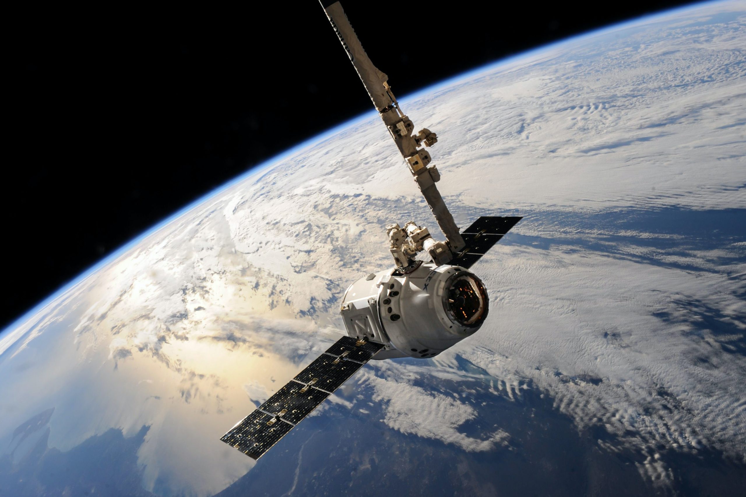
Satellite Imagery
COVID-19’s impact is highly visible from space via satellite imagery. Already used for monitoring climate disasters, the tool is helping to monitor economic and societal issues across the planet.
Through companies like Maxar Technologies, a space tech company that implements satellite imaging, we have the ability to see how the Stay At Home order is impacting the planet. As evidenced by satellite photos taken in March, people were taking the order seriously and it limited traffic congestion and environmental factors.
Notably, the images were helpful in identifying and tracking construction of new medical facilities across the globe in response to the pandemic. The images also helped us understand the size and pace of construction so we can manage medical needs in response to the rising cases of COVID-19.
Air Pollution Monitoring
Sentinel-5P, The European Space Agency’s (ESA) Earth-observing satellite, is working as part of the European Commission’s Copernicus program, and identifies that air pollution has drastically dropped during the pandemic. As COVID-19 cases peaked, there was a limited amount of nitrogen dioxide above Wuhan, China. Sentinel-5P uses a powerful remote sensing function that detects significant levels of the gas to warrant registering, but it didn’t detect it for over two months. Italy and South Korea showcased similar results; there were large decreases in air pollution thanks to social distancing, remote working and limited traffic, while factories also found other ways to function. The satellite results also showed improved air quality all over major cities like New York, Los Angeles and Seattle.
Global navigation systems like the Global Positioning Systems (GPS) also rely on Earth-orbiting satellites to give geolocations and real-time information to GPS receivers anywhere throughout the world. Navigation systems are fundamental during a pandemic; they help with critical transportation and the delivery of crucial medical supplies and other essential goods. The tool also gives emergency responders a more accurate assessment of their surroundings for when they need to get to locations quickly. In some cases, global navigation systems can help provide real-time communication with drivers who transport essential goods. GPS via satellite technology also helps first responders effectively navigate rapidly changing traffic conditions when lockdown, when traffic jams or restrictions are in place.
NASA is also monitoring environmental signals from the global response to COVID-19. In fact, NASA’s existing datasets from their satellites are used to better understand the spread of the virus. Their Socioeconomic Data and Applications Center (SEDAC) has launched a new interactive mapping tool that is being used by researchers to visualize global demographic data overlain with updated data from the Johns Hopkins University of Medicine Coronavirus Resource Center on the viruses’ spread.
Abroad, the UK Space Agency is also assisting in developing hi-tech health solutions. The agency has launched a drive to fund space-enabled technology and services that can strengthen their country’s NHS response to COVID-19. They will start with £2.6 million to fund a handful of projects that will address at least one of the following: Logistics within the health delivery system; Managing infectious disease outbreaks; Population health and wellbeing; Recovering health system function; Preparedness for future epidemics.
Last year the UK Space Agency provided £5 million for new health technologies inspired by working in space. These tools provide a real-time diagnosis of bowel cancer to more developed and compact 3D X-ray machines. The current drive aims to provide that the latest innovations will be on the “frontline” of tackling the pandemic with hopes that new technologies and software will help the NHS tackle the virus, hasten cancer diagnoses and provide satellite communications connecting GPS to patients virtually.
Staying Connected with Loved Ones
During the pandemic, many people work from home to help curb the spread of the virus. Many of us use satellite internet to connect with work, our loved ones and the world around us. Satellite communications allows us to maintain our connections via video conferring apps, helping to ease us into a socially distant reality.
Even in normal times, satellites and other space technologies can provide solutions to our most pressing needs. With more connectivity and inclusion available in the resilience and logistics of space technologies, we can help support healthcare in the most difficult situations.